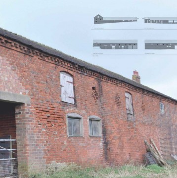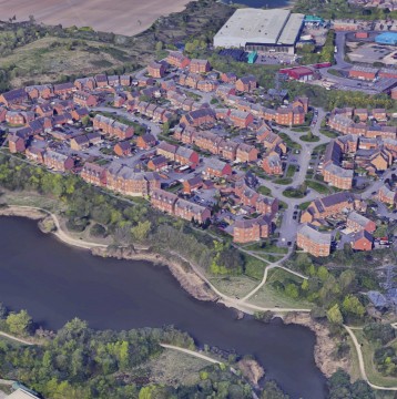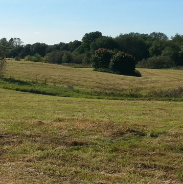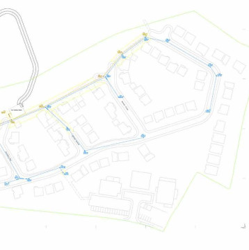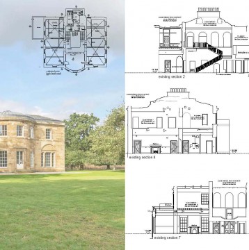

GP Surveying has been established for in excess of 18 years and therefore has a wealth of experience, providing a comprehensive range of surveying services to a wide range of clients, from single plot boundary surveys to 65 ha golf course redevelopments.
We provide an experienced and dedicated team who understand the requirements and time constraints developers face. We appreciate that every survey is different but we will supply the same high standard of service to all clients whatever the size and wherever your site is located.
From our base in Aldridge, West Midlands we are centrally located and cover the whole of UK, from wind farm projects in Devon to a retail supermaket in Aberdeen. Our experience is wide and varied, surveying brown field land for major housing developments, monitoring water levels for dams, surveying commercial premises and schools are just a snap shot of some recent projects.
We utilise Leica Theodolites and GPS surveying equipment for accuracy and efficiency. Surveys are processed using LSS software and drawings are presented in 2D and 3D AutoCAD. Drawings can be supplied in DXF, DWG or PDF dependent on your preference. Hard copies can also be supplied where required.
- 2D and 3D Survey Information
- All Sizes of Topographical Survey Undertaken
- Boundary Surveys
- Contours
- Cross Sections
- GPS Survey Work
- Monitoring Survey Work